Transforming Africa's Landscape
Visualizing our impact through advanced geoscience solutions
Advanced geospatial, environmental, and hydrological solutions for sustainable development across Africa
Visualizing our impact through advanced geoscience solutions
Comprehensive solutions for sustainable resource management and development across Africa
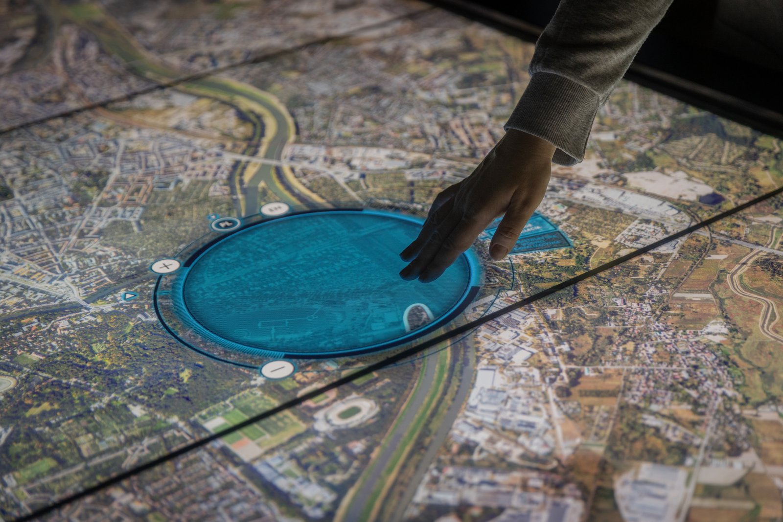
Advanced spatial analysis, mapping, and visualization solutions for informed decision-making and sustainable development planning.
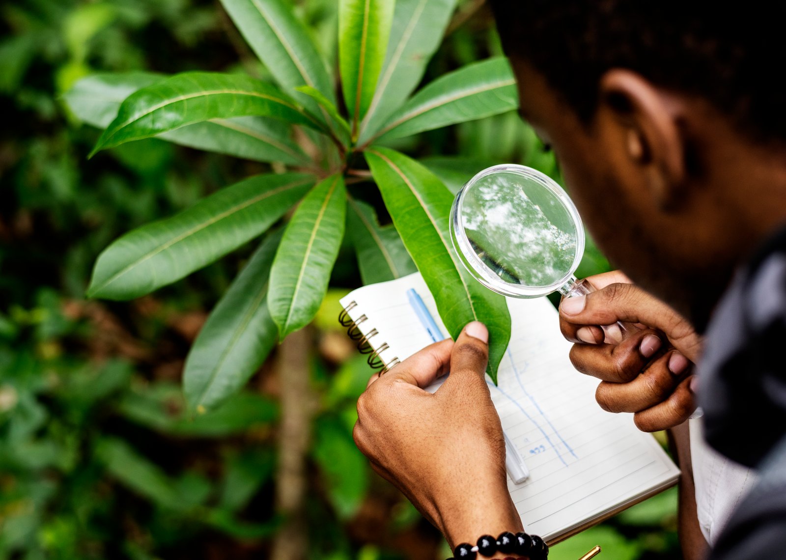
Comprehensive environmental assessments, monitoring, and compliance solutions aligned with national and international standards.
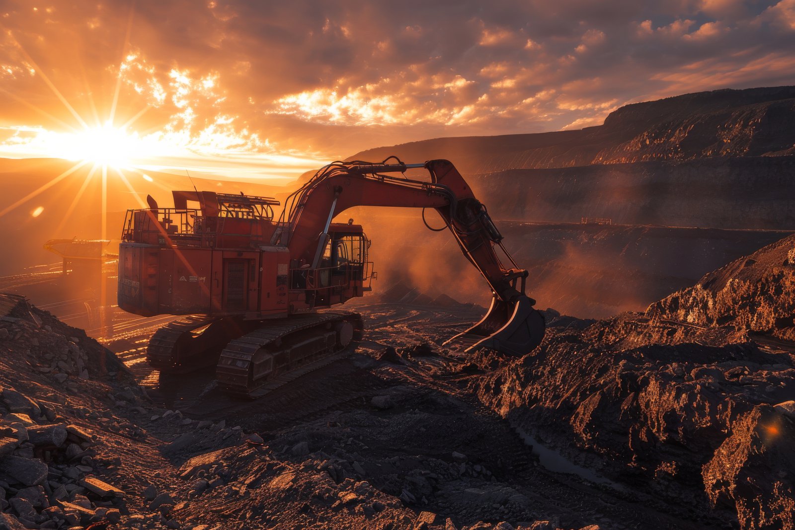
End-to-end mining and mineral exploration support, from geological mapping to licensing and sustainable operational planning.
Advanced water resource assessment, modeling, and management solutions for sustainable water security.
Strategic partnerships and investment coordination for mineral assets, exploration rights, and geoscience-related ventures.
Leveraging cutting-edge tools and methodologies for precise geoscience analysis
Satellite imagery analysis and aerial photography for large-scale environmental monitoring
High-resolution aerial mapping and environmental monitoring with UAV technology
Advanced geographic information systems for spatial data management and analysis
HEC-HMS, SWAT, and MIKE SHE for comprehensive water resource assessment
Resistivity, seismic, and magnetic profiling for subsurface investigation
Multi-source data fusion and analysis for comprehensive geoscience insights
Get an instant estimate for your geoscience project requirements